Day 23: A brief history of the Tennessee-Tombigbee Waterway
Day 23: A brief history of the Tennessee-Tombigbee Waterway
Day 23: A brief history of the Tennessee-Tombigbee Waterway
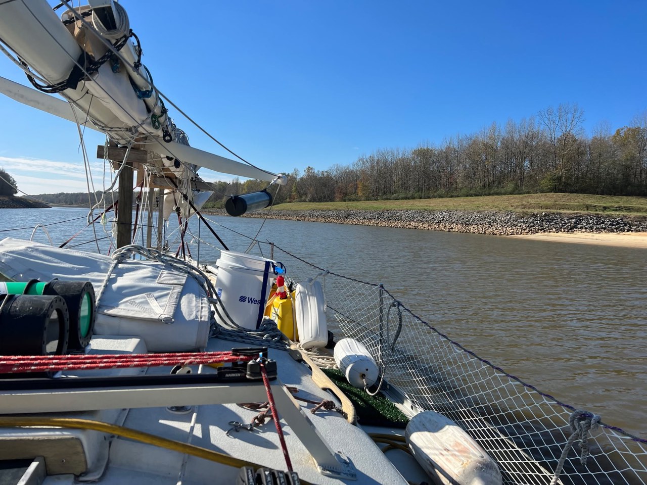
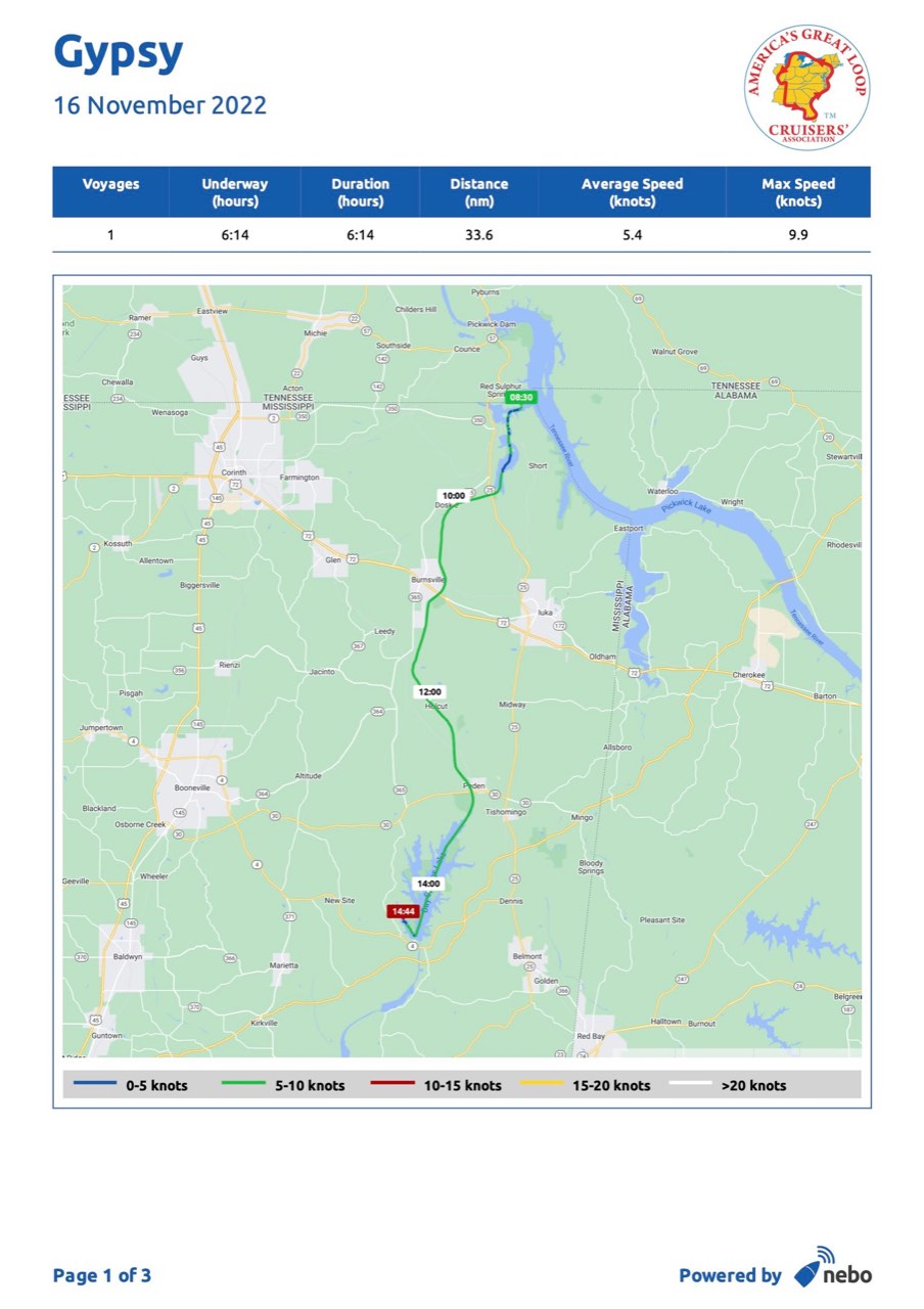
Departed Grand Harbor for Bay Springs Marina today. Our first leg of the journey was a few mile run to the beginning of “The Divide Cut” a 29 mile long man made channel on the Tenn-Tom.
The current seems to be with us again, thankfully. We clipped along at nearly 6 knots most of the day. Saw a few barges, moved over for one and got stuck in the mud… With water levels being so low there isn’t much depth beyond the marked channel. A hearty dose of reverse got us unstuck and on our way again. I used to tell my sailing students “There’s two types of mariners. Those who have run around, and those who haven’t left the dock” (Though you could argue there are also those who haven’t left southern Lake Michigan where this is almost nothing to hit). I have yet to meet a looper that hasn’t touched bottom this year with water levels the way they are…
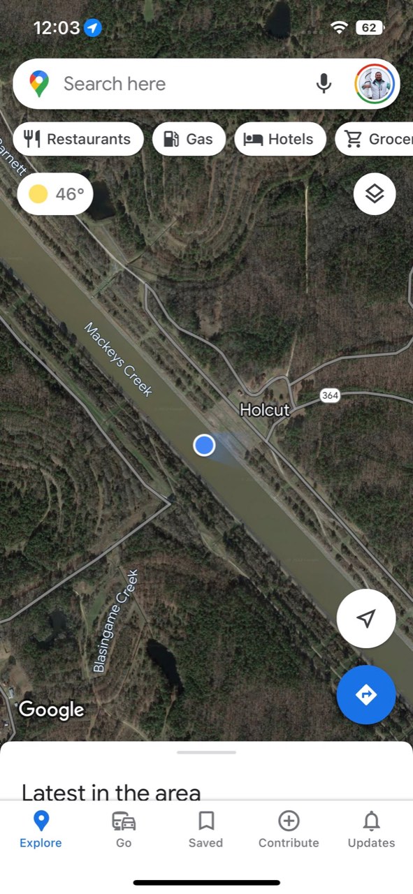
We passed what used to be the town of Holcut, MS. All that is left now is a monument up on the shore. I figured since we are now on the Tenn-Tom, and the pictures are all starting to look the same day after day, I’d dive into the history of this waterway…
THE TENNESSEE - TOMBIGBEE WATERWAY First, who is the elusive Tom Bigbee that this waterway is named after? A former southern Governor? A Senator? Famous Banjo player? The inventor of the Nashville Chicken Sandwich? Turns out Tom Bigbee is… no one.
Tombigbee is the name of the river the waterway connects to at its southern end. Tombigbee is supposedly a Choctaw word. Though it sounds pretty anglofied to me… Annnny hooters… The Tombigbee connects the Tennessee River from Pickwick Lake, through a man made channel consisting of 10 locks, and 234 miles of navigable waterways down to the Black Warrior-Tombigbee River. EXCITING STUFF huh?!
Why did we feel the need to build such a waterway when we already had the Mississippi? Well, to quote Comicus (Mel Brooks) from History of The World, Part 1: “Politics! Politics! Politics!” The Senate is the best form of government that money can buy!” https://youtu.be/I9QBaKixc5I?t=111
The idea for the waterway goes back as early as 1875, but no action was taken until FDR took office and supported many federal construction projects to put people to work. The TVA (Tennessee Valley Authority) was created to power the region and provide jobs through construction projects building locks and dams to provide cheap, clean hydro-electric power for much of the region. Remember the movie “Deliverance”? The background plot was the river they were canoeing was about to be dammed by the TVA, hence the trip.
Back to history, the Pickwick Lock & Dam (last lock I went through 2 days ago) was built by the TVA in 1938 and created Pickwick lake. This helped bring down the cost of a potential Tenn-Tom project. As time went on a few ideas were kicked around, including at one point in the 60s some genius proposed the idea of creating the Tenn-Tom by using atomic blasts. Genius.
In 1971 the Tenn-Tom became a reality when Nixon committed to support the project as part of his southern strategy for re-election. (Politics! Politics! Politics!) Construction began in 1972 when the Army Corps of Engineers finally received funding. Jimmy Carter wanted to slash funding to the project after he was elected, but staunch opposition from supporters of the project eventually changed the administration’s stance on the 2 billion dollar endeavour. Rail companies filed lawsuits in opposition to the project, these were eventually struck down by federal courts. Construction rolled on.
Back to the Divide Cut, when constructed it was planned to run right through the town of Holcut, MS. The Army Corps purchased the entire town in 1976 and all of its residents were forced to move. All that remains is the memorial I mentioned earlier.
The Tenn-Tom project was completed in December 1984, almost two years ahead of schedule! Must be a government project record!
Initially commercial traffic on the Tenn-Tom was low. Seemingly proving that opponents of the nearly 2 billion dollar project were correct. When the drought of 1988 dried up the Mississippi, barge traffic shifted to the Tenn-Tom, much like it is now during the current drought the lower Mississippi is facing. A 2009 study concluded the Tenn-Tom has contributed over 40 billion in direct and indirect economic benefits to the region.
While commercial traffic has increased over the years, it has become the preferred route for recreational boats and “Loopers” or people who are travelling on The Great Loop. There are an abundance of marinas and fuel stops along the way. The longest stretch between fuel on this route is actually on the Mississippi to the Tennessee stretch coming in at 208 miles. Should you continue south to New Orleans on the Mighty Miss, recreational boats would have to be able to cover 500+ miles between fuel stops, not to mention strong currents, and LOTS of large commercial traffic with few marinas to stop at. Hence the Tenn-Tom’s popularity for us rec boaters.
So there ya have it, a somewhat brief history of the Tenn-Tom from yours truly, who is currently located at Bay Springs Marina here in Scenic Mississippi.